
- Day 1: Bicycles and ghost towns
- Day 2: Mid Hills to Mitchell Canyon
- Day 3: Barber Canyon to Mid Hills
- Day 4: Mid Hills to Live Oak Canyon
When I’m considering a wilderness trip, the quality of a location usually comes down to something like this:

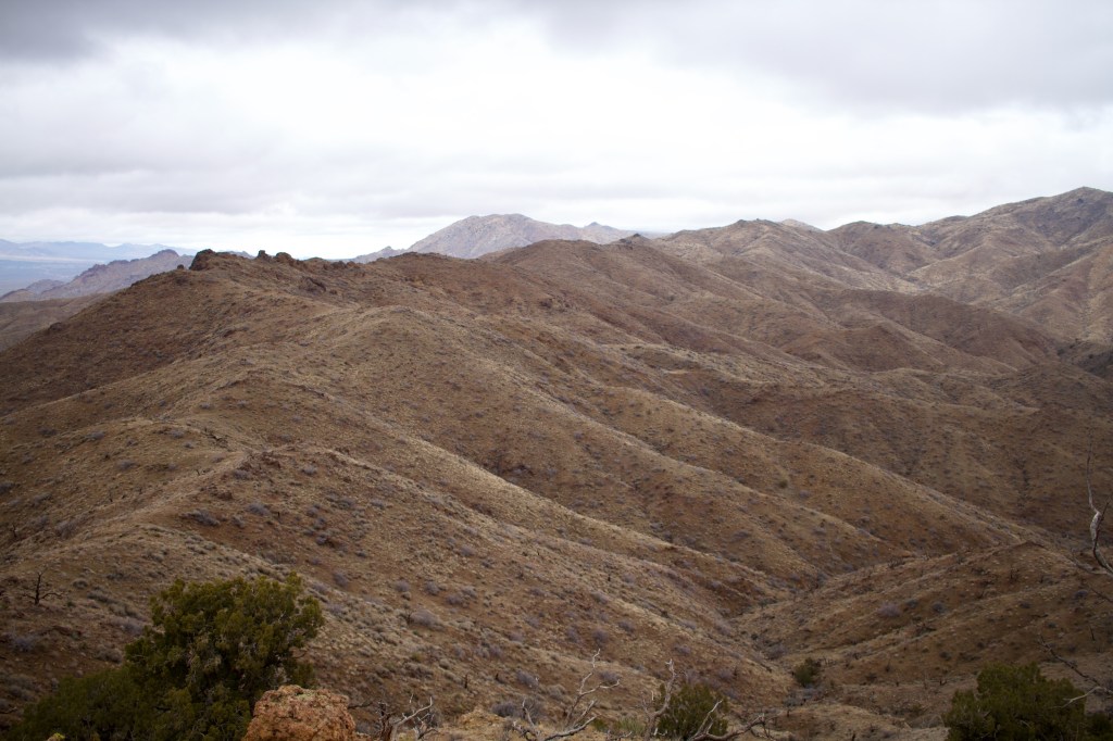
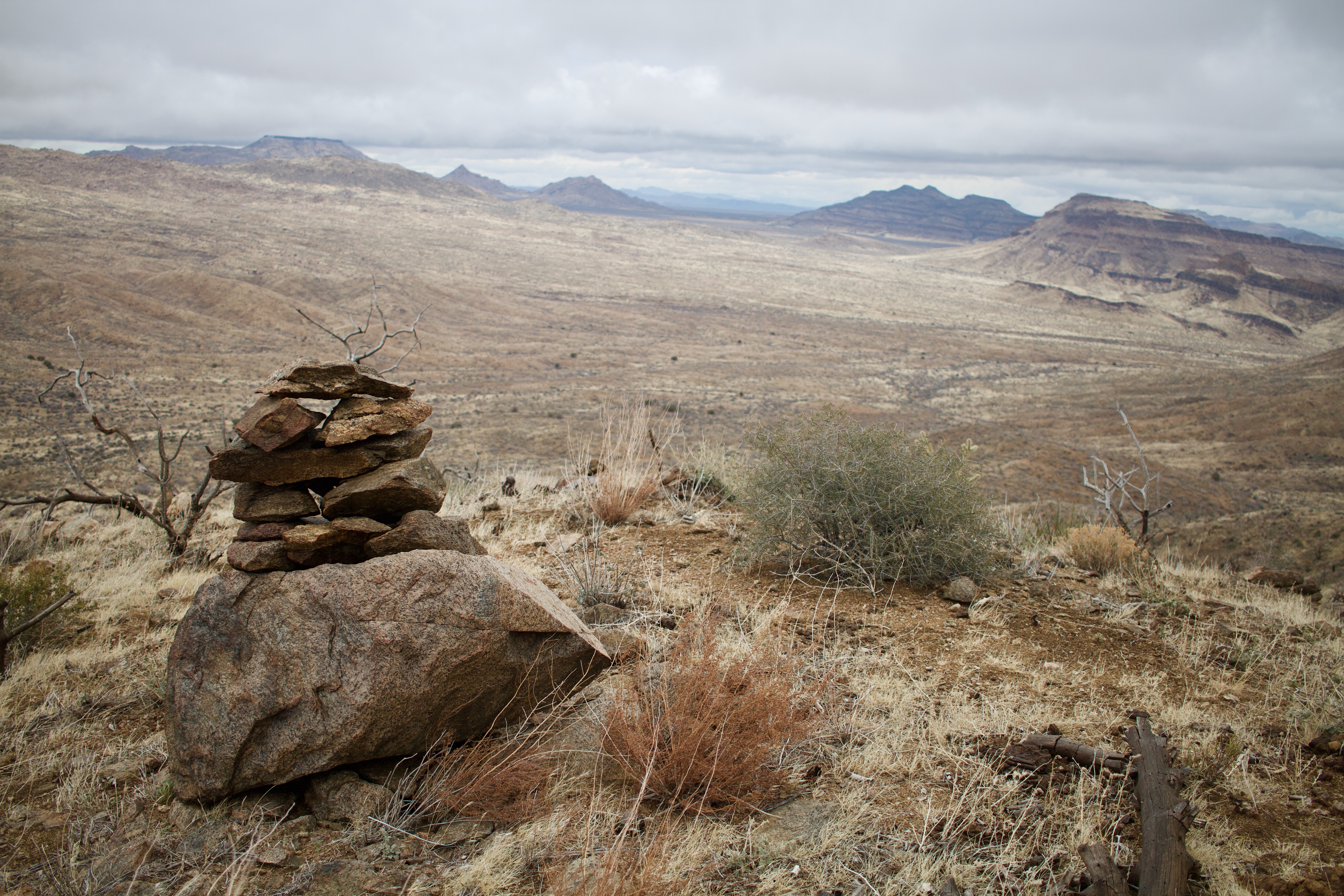
Although the Mojave Desert lacks the extreme spire/lake topography of the High Sierra or the vermillion sandstone of canyon country, its remoteness is unparalleled. Despite fielding the winter ecotourism of two of the lower 48’s flightiest megatropolitan populations, the Mojave National Preserve contains enough solitude to go around.
But don’t be mistaken, the Mojave can be as gorgeous as it is remote. The low, tan peaks seen at 80 mph from I-15 camouflage one of the West’s great wildernesses.
Still, pinpointing the attraction of the desert is difficult. Perhaps that’s because more than any particular feature, its vastness and ambiance are what’s compelling. Or maybe it’s the treasure hunt–that quest for the secret pockets of beauty or history so closely guarded by its denizens.
Whatever the motivation, as the rest of California battled monster downpour, Kiva and I were sucked back into the Eastern Mojave’s gravitational orbit.
Day 1: Bicycles and ghost towns
Upper Lanfair Valley – We woke amid a dense Joshua Tree forest, rewarded for our decision to ditch the car and cover a few miles before setting camp the previous evening. Around us, mature trees canted precariously, weighed down by their own divaricate bulk.
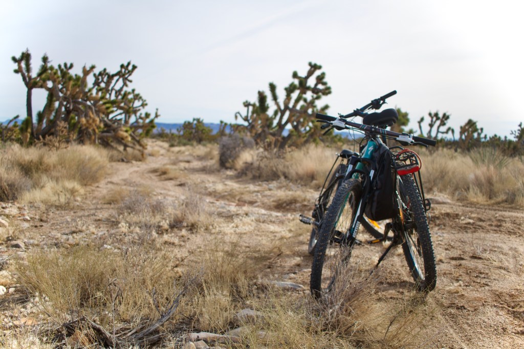
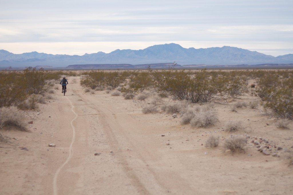
After a few bike mod’s to accomodate our huge backpacks, we hit the “road.”

Several pleasant but unremarkable miles later, we reached the intersection of Ivanpah Rd and the famous Mojave Road, a popular 4WD offroading route that traverses the preserve east to west. Here we found a monument to the Nevada Southern Railway, a defunct mining track that has long since given way to Ivanpah Rd.
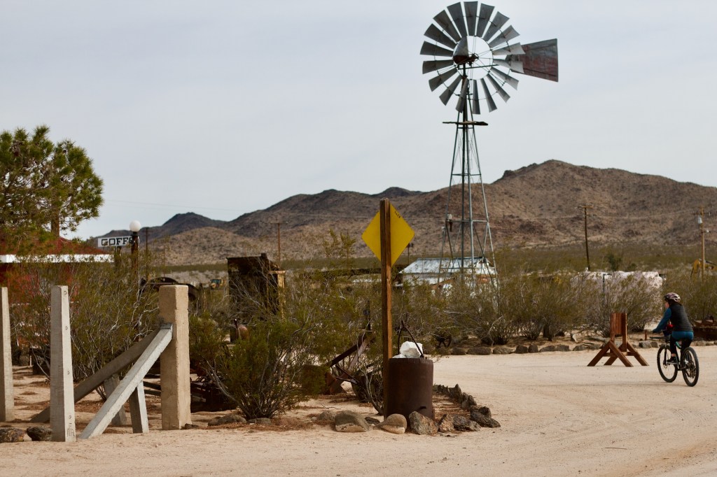
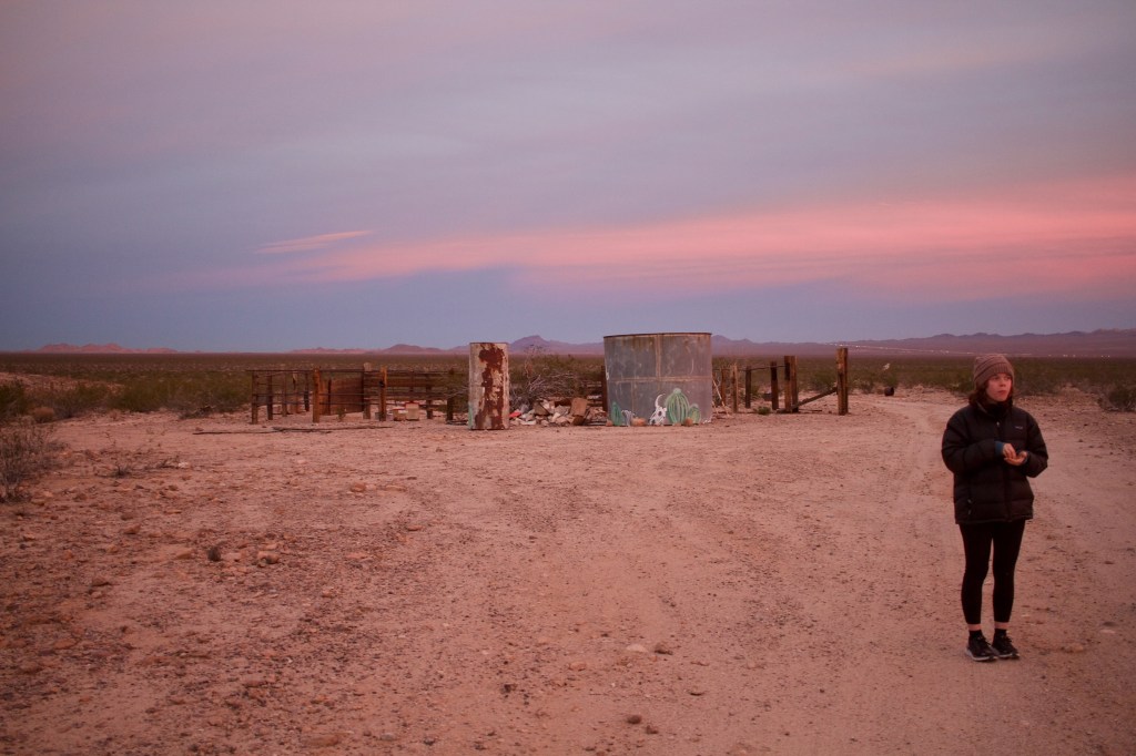
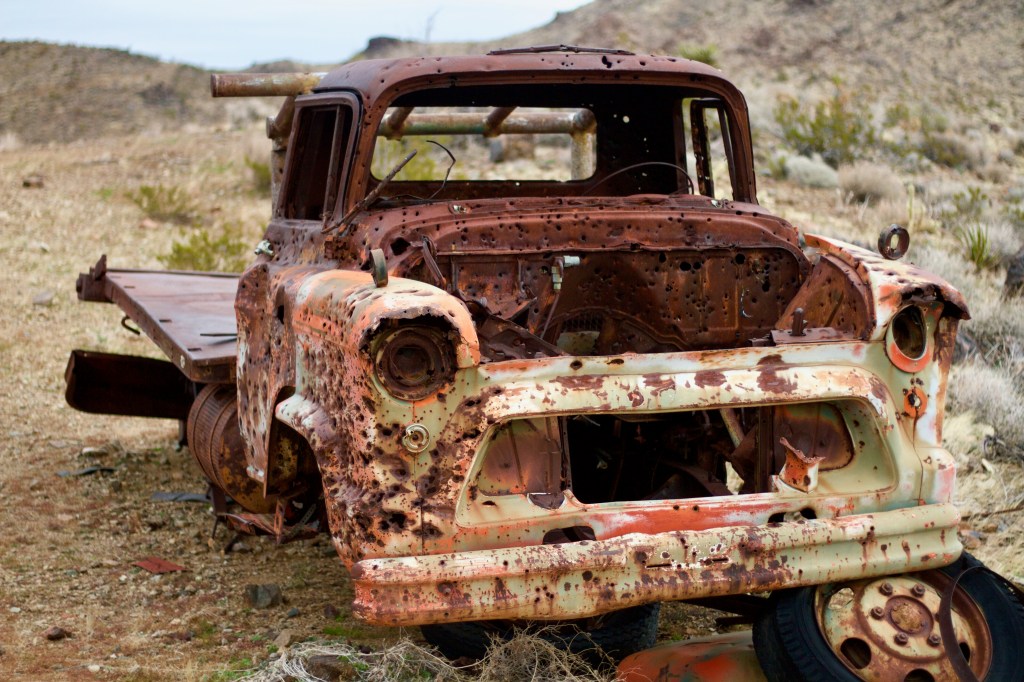
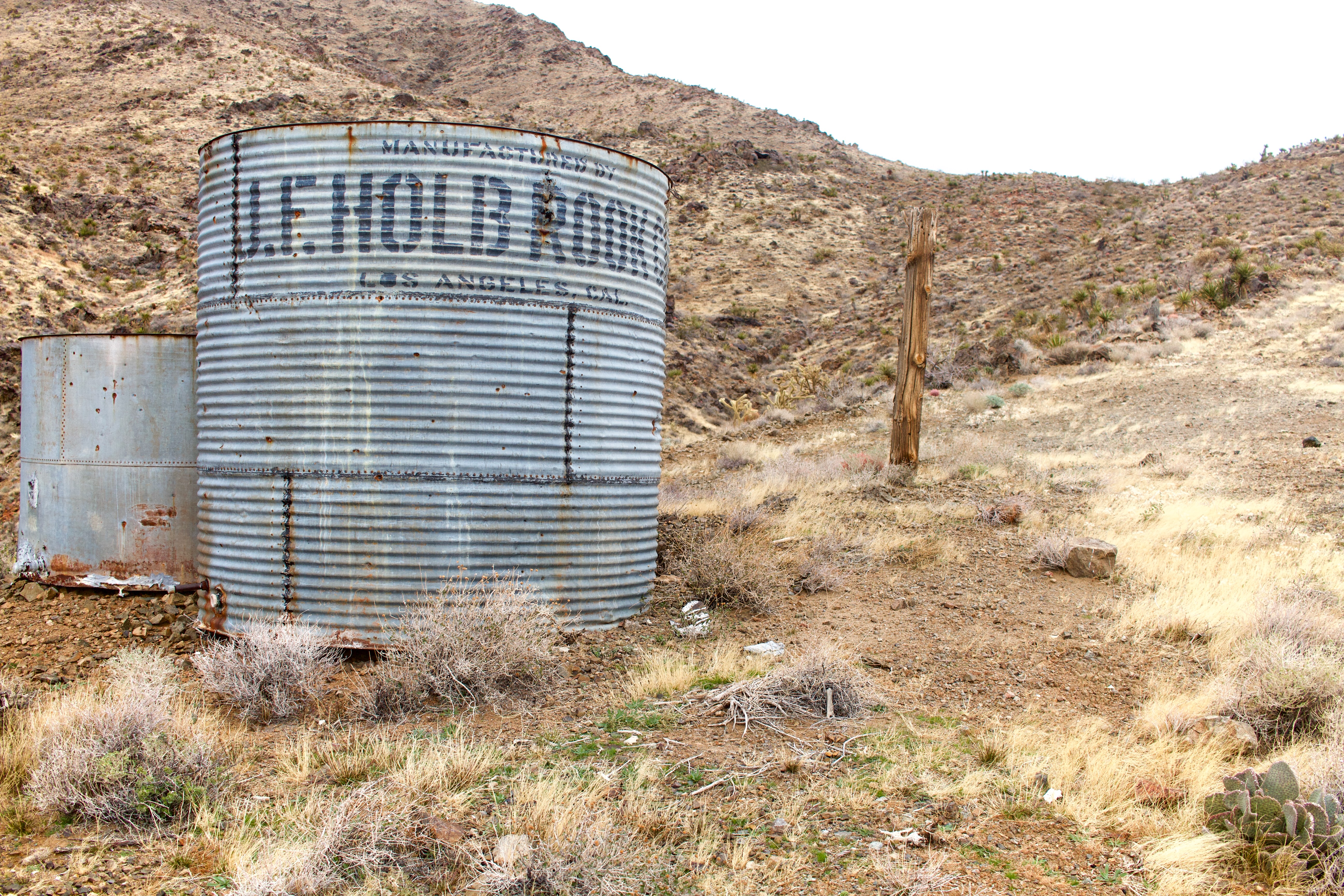
Around midday, we arrived in the eerie mining town of Goffs where we filled up on water at the Goff’s Schoolhouse Museum. Greg, the loquatious caretaker, gave us a tour and directed us to the donation box. .

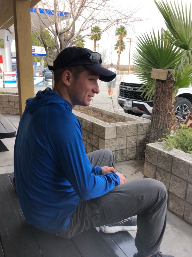
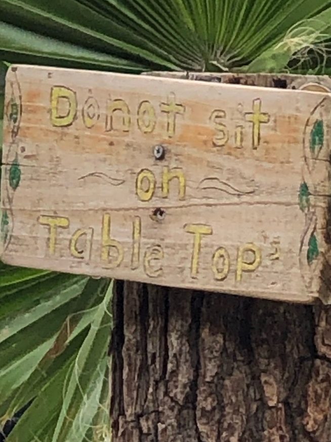
Quick pit stop at a Route 66 (rip) gas station where Pk decided to disobey posted signage …

After a long day (of 51 mi!) of riding, with PK carrying the weight of both packs (thanks PK), we both felt ready to ditch the bikes.
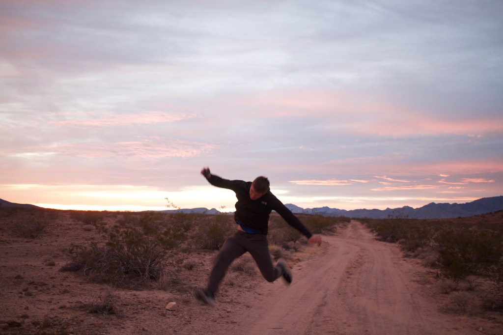
Under pink skies, we hid the bikes behind a cute, cactus-covered microbutte.
Lunch was eaten at the lovely 1700 hour and consisted of tuna salad sandos. Yum.
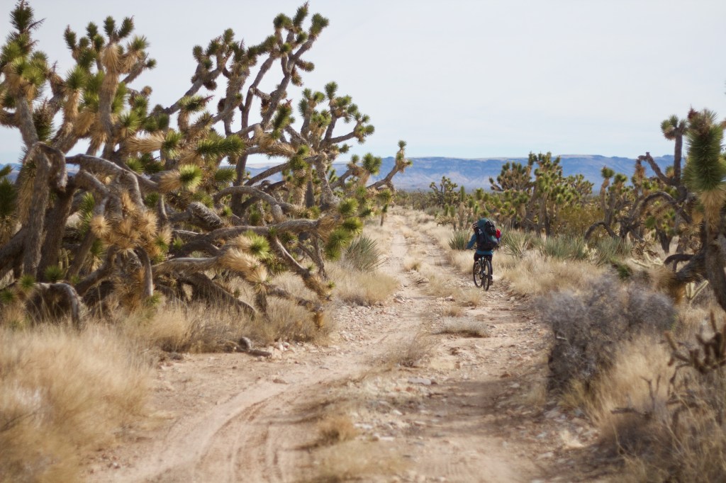
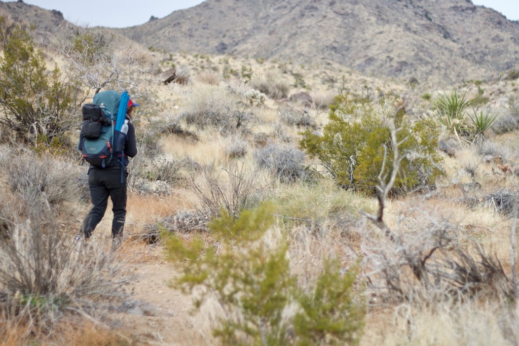
We then continued by foot into the desert, each step bringing us further from the lights of I-10.
Day 2: Hollow Hills to Mitchell Canyon
Hollow Hills Road – We got moving bright and early with mining cabins beckoning and impending plans to cross Foshay Pass that afternoon.
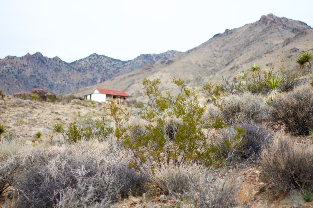
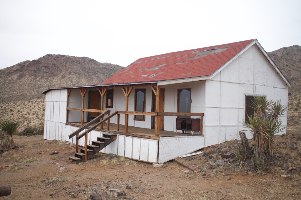
The ***** cabin was built in the 1930’s and housed the workers at the nearby gold mine which operated with varying profitability between 1918 and 1941. (dzrtgrls.com) After the roof collapsed, the cabin was extensively restored by one David Nichols, which explains the modern appearance. We later saw a sign for the Nichols Ranch off Cedar Canyon Road.
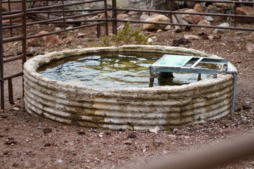
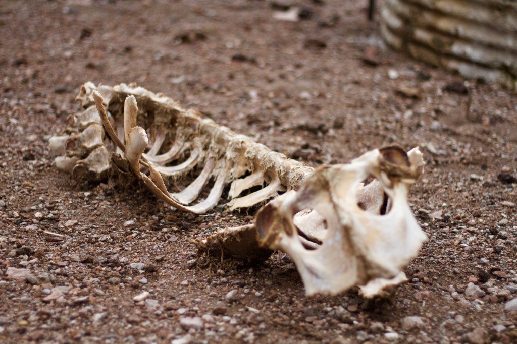
Since they’re considered historically significant, mining ruins are permitted to continue their slow decay in the National Preserve whilst abandoned modern vehicles are removed as “garbarge.”
I’m not so sure that distinction holds water; to me most of the mining equipment is trash as well–leftovers from extractive follies that have forever damaged delicate desert ecosystems and left much of the park’s natural spring water suspect of being chemically contaminated.
I enjoy a well preserved mining cabin as much as the next desert rat. Still, its curious to consider what makes something worth keeping around. Is it age? Surely in 75 years no one will marvel at the remains of our plastic covered SUVs leaking battery juices into the sand.
For some elusive reason, there seems to be a collective nostalgia for the railroad-and-gold-rush era of the American West, one that has even been institutionalized into National Park policy.
Soon the desert ranch will go the way of the desert mine. Will we “preserve” the corrals and cow patties when they too exist only in the historical record?

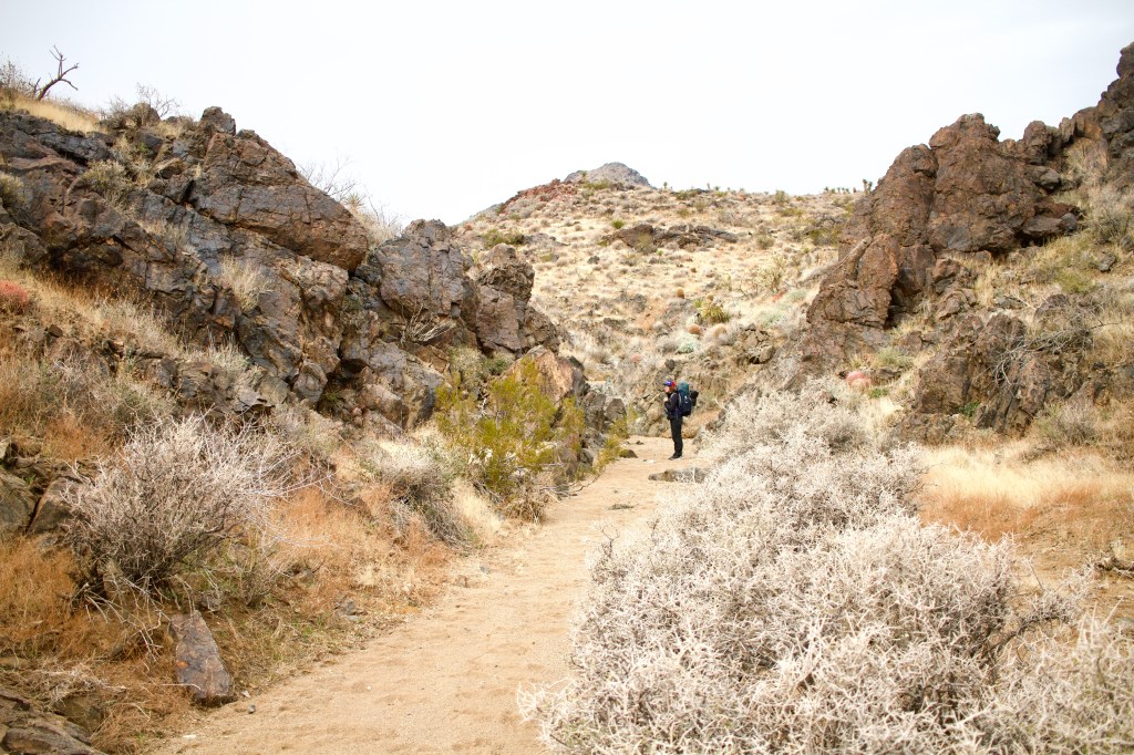
We continued to make our way north along the east slopes of the Southern Providence Range, heading for Foshay Pass where we planned to drop down west to the Kelso Depot for some water.

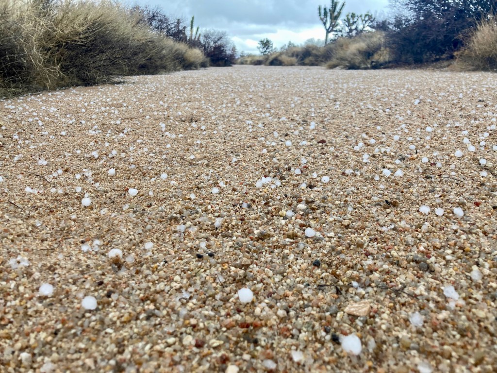
As storm clouds brewed and rain began to drizzle, we started to rethink the next 15 miles to Kelso. Taking advantage of a few bars of cell service, we learned that Mitchell Caverns State Park (6 miles away) would be willing to spare “a conservative amount” of water for us.
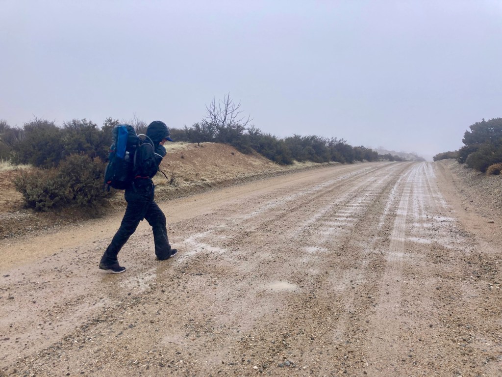
Approaching this park along a steep, windy road nestled into the Providence Range felt as if we were drawing nearer and nearer to the home of Zeus, the almighty Greek god. We decided that he must be angry with us since the sky was now sickeningly dark with clouds releasing large, heavy drops.
The park closed at 1700h, meaning we had less than an hour to make the final three miles and vertical 500 feet to get some valuable H2O. As we racewalked, we mused as to whether or not we’d be the first visiters to ever arrive on foot to this remote site.
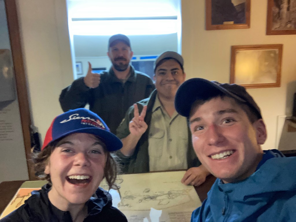
When we arrived, we were greeted by two startled rangers who had spotted us on a game camera thinking we were… a mountain lion? After confirming that we were not, in fact, planning on camping on state park land, they helped us plan a route north toward the Bonanza King mine and gave us a ride down the road in what was now a full-blown rainstorm.
Day 3: Barber Canyon to Mid Hills
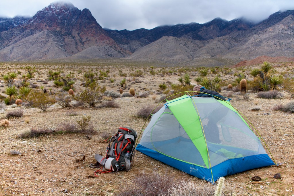
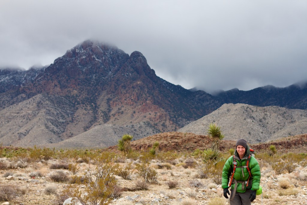
The next morning, a howling wind knocked our tent flat and motivated us to get moving. Outside the tent, Edgar Peak was dusted with fresh snow and thick clouds hung low over the mountains.

Following the advice of the rangers we decided to avoid Beecher Canyon and the Blair Ranch–the last cattle ranchers to maintain grazing rights within the Preserve– and instead opt for Barber Canyon.
“Its a place few people have ever seen,” the state park ranger had said the night before. “I wish I could be joining you.”
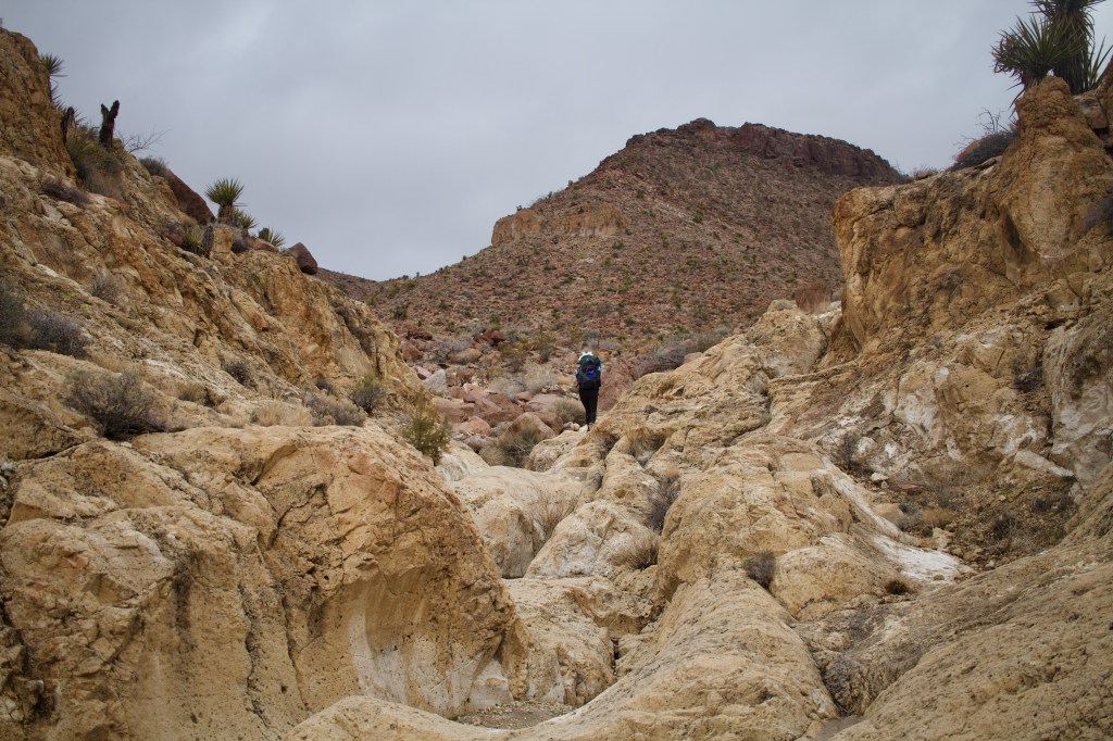


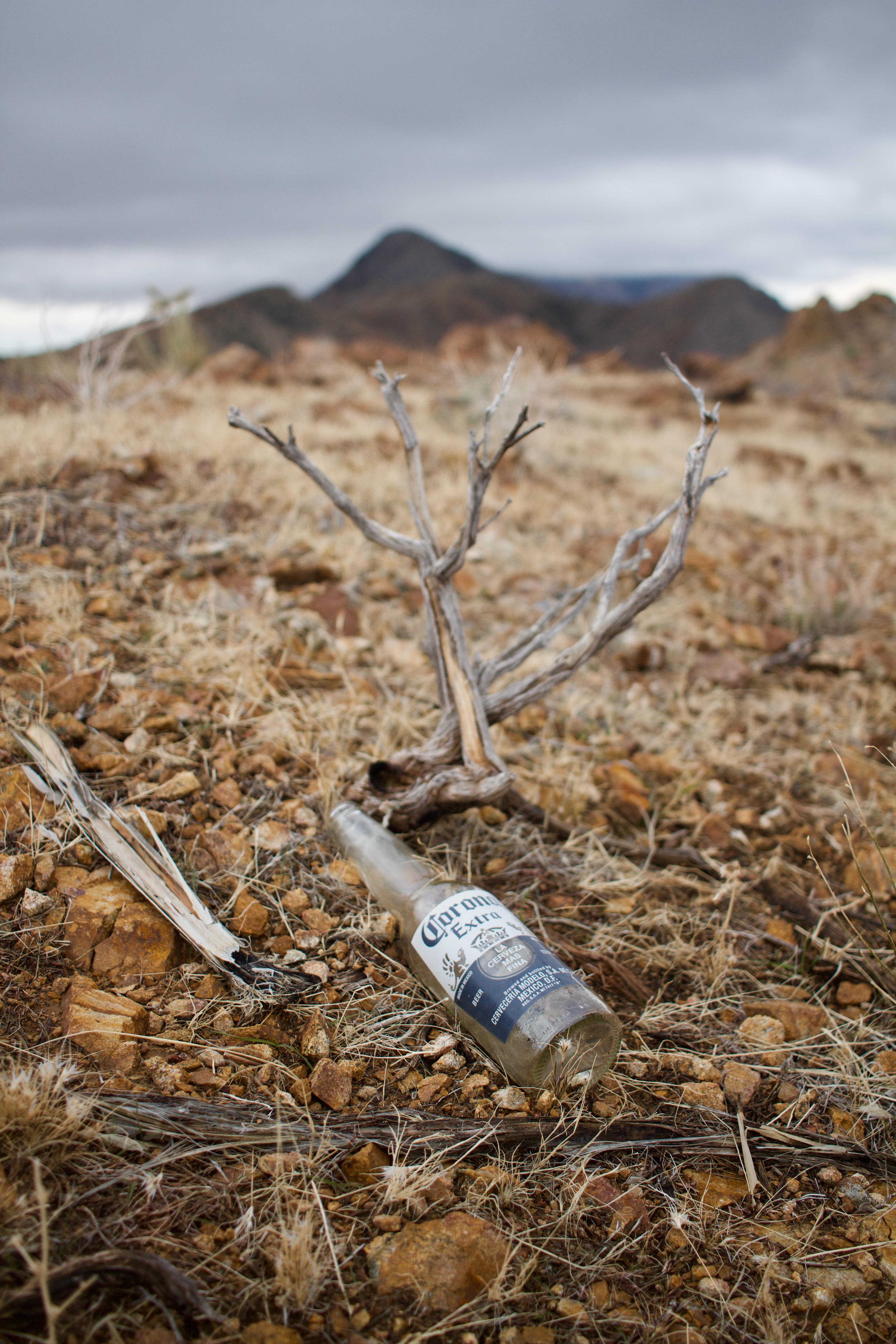
Eventually we could go no higher. We topped out and began to follow an easy ridge with an obvious horse trail replete with cowboy sign– beer bottles.
Eventually, we dropped west off the ridgeline and made our way to Hole-in-the-Wall Campground where we refilled water. That horse has been well flogged, but sufficed to say its worth a visit if you’re in the area already, but I probably wouldn’t travel for it.


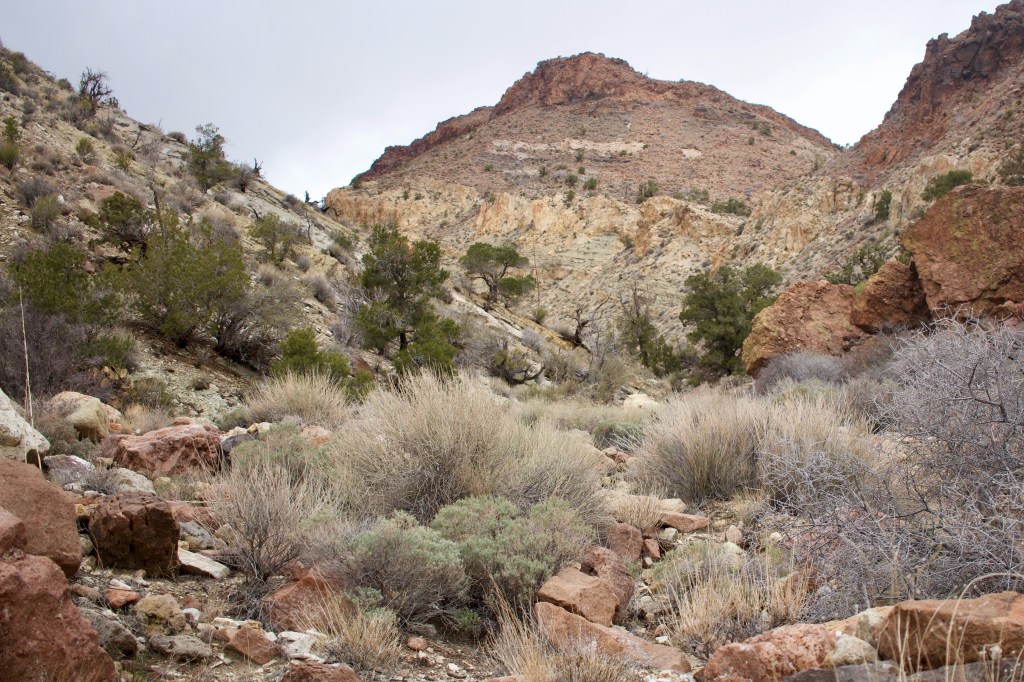
Afterward, we continued into the night toward the Mid Hills Campground along what can only very generously be called the Mid-Hills-to-Hole-in-the-Wall “trail.”
This was a remarkable area, with massive juniper and wide, braided washes so it was a bit of a shame to be doing it in the dark.
Day 4: Mid Hills to Live Oak Canyon
The biggest dissapointment of the trip was revealed when we woke up to Mid Hills inside of a cloud.
Our final day, which was planned to include exploring some of the densest pine/juniper forest of the trip (and perhaps the whole preserve) would have to be ditched as well as our much anticipated excursions into Caruthers and Sagamore Canyons.
Alas, these will have to wait for a future trip. I’ll note that the parts of the Mid Hills Campground that we could see were fantastic and well worth a visit.

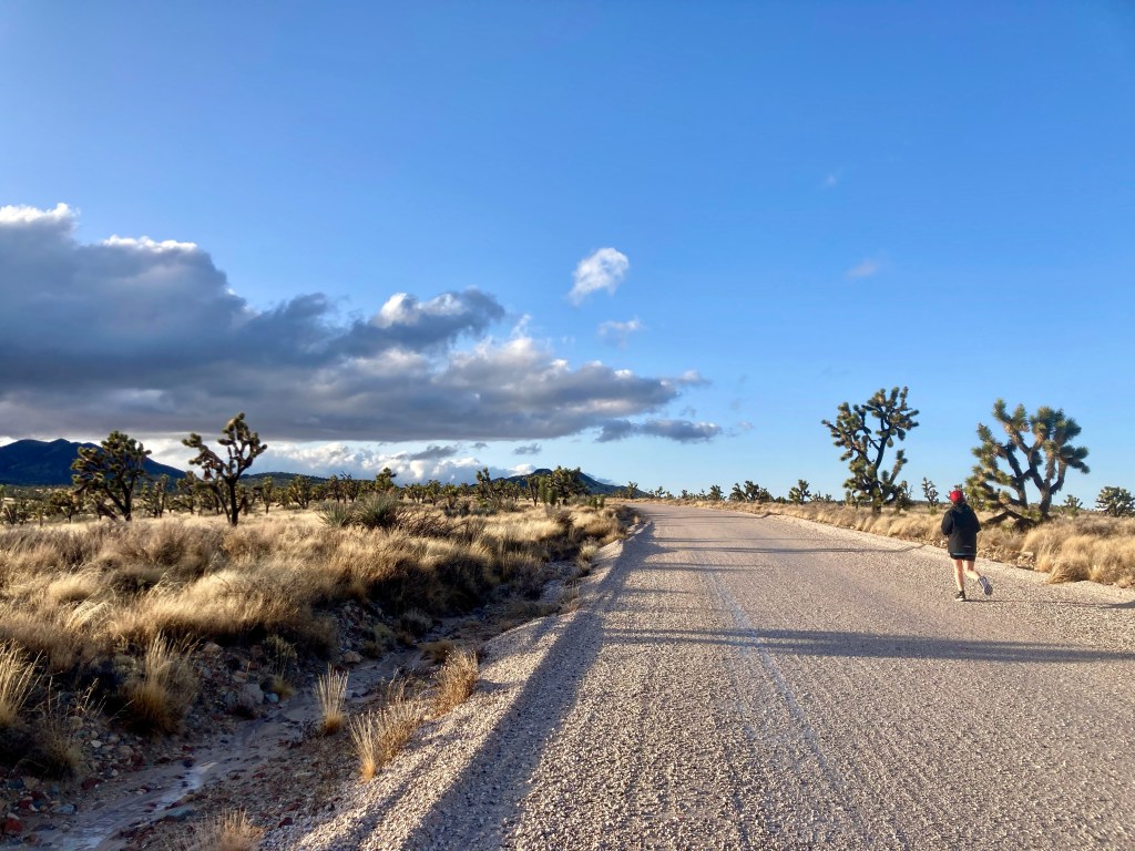
We caught a ride with a friendly camper for about 5 miles until his car began to get stuck in the fresh mud. Next, we walked on different varieties of dirt road for 15 more miles before we reached Ivanpah Road where we dropped our packs and jogged the last 7 miles to the car.


Leave a comment